
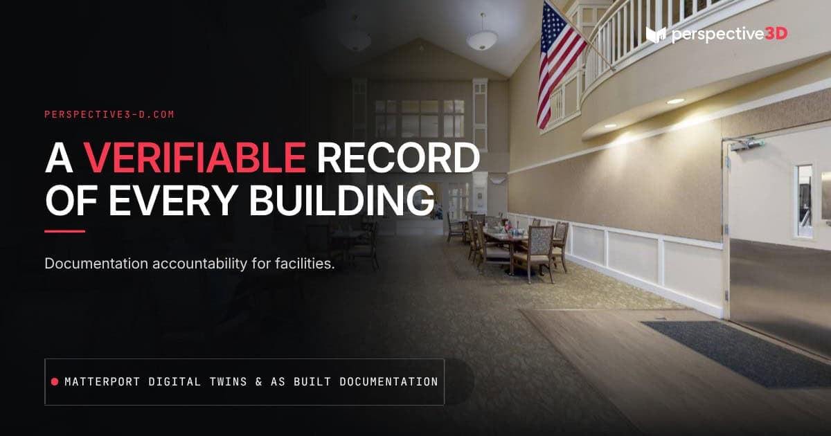
Building documentation accountability comes down to this: a verifiable spatial record protects the person responsible for a building when a dispute, claim, or safety question requires knowing exactly what the building looked like at a specific point in time. Without one, that person is left reconstructing conditions from memory, outdated drawings, or whoever happens to remember the last renovation.
This post is for facility managers, property managers, and building owners who carry responsibility for buildings they didn’t personally build or don’t visit daily.
What Counts as a “Verifiable” Spatial Record?
A verifiable spatial record is documentation that shows exactly what a building looked like at a specific point in time, captured with measurable accuracy rather than estimated or hand-drawn. A Matterport scan and its accompanying point cloud data qualify because the capture is dimensionally accurate and time-stamped — it shows what was there, not what someone remembers being there.
Contrast that with a set of drawings that hasn’t been updated since a renovation three years ago, or a facility manager’s recollection of “how it used to be.” Neither holds up when something is actually in question.
Why Does This Matter If Nothing Has Gone Wrong Yet?
The value of a spatial record shows up precisely when something goes wrong — a leak, a dispute over what changed, an insurance claim, a lease disagreement — and by then it’s too late to go back and document what things looked like beforehand. The record only has value if it existed before it was needed.
Facility managers who carry responsibility for buildings often don’t control when a claim or dispute happens. Having a documented baseline means that whenever the question comes up, there’s already an answer instead of a scramble to reconstruct one.
Who Needs Building Documentation Accountability?
Insurance adjusters, facility teams, incoming tenants, capital planning committees, and sometimes legal counsel all end up needing an accurate picture of what a space looked like at some point in the past. The facility manager or property manager is usually the one who gets asked first, and the quality of their answer depends entirely on what documentation already existed.
This is especially relevant for a property manager overseeing several buildings for different owners — each with different records, different levels of documentation quality, and different amounts of institutional memory about what’s changed. A consistent scan-based record across the portfolio removes the guesswork about which building has good documentation and which doesn’t.
What Does “Point-in-Time” Actually Mean in Practice?
Point-in-time means the record reflects the building’s condition on the exact date it was captured — not an estimate, not a description, but a measured snapshot. That distinction matters most when a dispute hinges on whether a condition existed before or after a specific date, which is exactly the kind of question insurance claims and lease disputes tend to ask.
A property manager who scans a building at move-in and again before move-out has two accurate, dated records bracketing the tenancy. Whatever changed in between is no longer a matter of opinion — it’s visible in the comparison.
How Does This Play Out for a Michigan Facility Team?
A commercial property manager handling a mixed portfolio across Grand Rapids might have one building with excellent original drawings and another where the drawings are decades out of date after multiple ownership changes. When a prospective buyer or insurer asks for current documentation on the second building, the property manager is stuck reconstructing it from site visits and staff memory. A scan-based record closes that gap the same way for every building in the portfolio, regardless of how good the original paperwork was.
What Does Building This Record Actually Involve?
Building a verifiable spatial record starts with a single site visit — we scan the building, generate the Matterport tour, and deliver point cloud data within 24 hours. From there, the record only stays verifiable if it gets updated: a re-scan after a renovation, a system replacement, or any change significant enough to matter if it were ever in question.
For a property manager handling this across a portfolio, the practical approach is prioritizing the buildings with the highest risk exposure first — older buildings, buildings with a history of disputes or claims, or buildings changing ownership soon — rather than trying to document everything in one pass.
What This Record Doesn’t Do
A spatial record documents physical condition and layout. It doesn’t establish legal liability, interpret lease terms, or replace an insurance adjuster’s assessment — it gives all of those processes something accurate to work from. It’s also a point-in-time record: it’s accurate as of the capture date, which is why a re-scan after major changes matters more than treating one scan as permanent proof of current conditions.
How is a scan-based record different from photos taken during a walkthrough?
Photos show what something looked like from one angle at one moment. A Matterport scan captures the full space with measurable dimensions, so it can answer spatial questions — distances, layout, what was where — that photos alone can’t.
Can this record be used in an insurance claim or legal dispute?
The documentation can support those processes by providing an accurate, time-stamped record of conditions. Whether and how it’s used in a specific claim or dispute is a legal and insurance question best directed to the relevant adjuster or attorney — the Insurance Information Institute is a useful starting point for general questions about how property documentation factors into a claim.
How often should a building be re-scanned to keep the record current?
After any significant change — renovation, tenant buildout, system replacement — a re-scan keeps the record accurate. For buildings with minimal change, every few years is often sufficient.
Does this work for a single building or does it need to be portfolio-wide?
It works either way. A single building gets documentation protection immediately. A portfolio gets the added benefit of every building following the same documentation standard, which makes comparisons and reviews faster across the board.
Related Reading
- What Is the Golden Thread — and Why Does It Matter for US Building Owners?
- How Digital Twins Support Life Safety and NFPA Compliance
- What Facility Managers Need to Know About Building Documentation Standards
Have a portfolio that needs a documentation baseline? Call 616-312-3947 or visit perspective3-d.com/contact.