Documentation Solutions
Site Surveys
Single-visit, non-disruptive, and precise site surveys to help you cut costs and resource use. For projects of all scopes scales and sizes in any location.

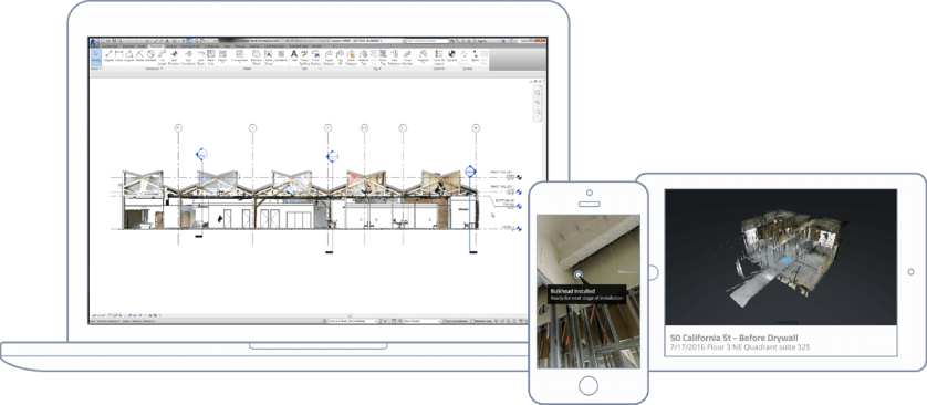
As-Built surveys, 3D laser scanning, BIM, REVIT, aerial imaging, and HDR ground photography.
Perspective 3D has helped our clients save millions or dollars in:
- lost productivity and materials with assets
- aiding in design, visualization, space definition
- prefabrication and clash detection


Powerful Resources
Perspective 3D has the resources to provide complete documentation of your project, inside and out. Whether you need accurate 2D drawings, aerial imaging of exterior conditions, a BIM model, or 3D for interactive visualization, we can customize a package based on your requirements.
Data Capture
We capture millions of data points that enable us to create high-quality, photo-realistic point clouds and digital images.


3D Laser Scanning with Matterport
visualization that enable teams to get ann accurate sense of current site conditions.
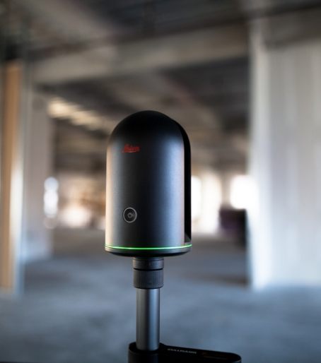
LiDAR Scanning With Leica
Scanning with LiDAR, survey grade equipment gives us the ability to provide measurements with the accuracy you need.
