
Transforming Real Spaces Into Interactive Sharable Experiences
Matterport 3D Scanning. We Turn Real Buildings Into Shared Digital Spaces.
Perspective 3D is Michigan’s expert Matterport 3D scanning company, serving Grand Rapids and commercial properties nationwide. We create immersive digital experiences that help teams see, understand and manage the spaces that matter.
Ready to bring your space to life?
What Can 3D Do For You?
Perspective 3D delivers Matterport 3D digital twins, virtual tour documentation, and CAD and BIM solutions for buildings and job sites of any size. We scope the work to what your project requires — whether that’s a single location or a coordinated national program.
All-In-One Solutions
One capture of your space produces everything you need — Matterport 3D digital twin, point cloud files, schematic floor plans, and sharable virtual tour assets — delivered in the formats your team uses. CAD and BIM ready.
Consistent Quality
We use Matterport hardware and software alongside Leica survey-grade LiDAR equipment. Every capture meets the accuracy and resolution standards your documentation requires.
Quick & Flexible
From scheduling to delivery, we work around your timeline. We coordinate directly with on-site contacts and turn assets around to meet project deadlines.
Experienced & Informed
We have been scanning since 3D documentation was a new idea in this industry. That experience translates into better scoping, fewer surprises, and documentation that holds up to real project demands.
Solutions Designed For You
Perspective 3D manages multi-site programs across the country. One point of contact with consistent deliverables, coordinated scheduling with quick turn around.
We work with anyone who manages, markets, or makes decisions about the built world. If your work depends on accurate spatial documentation, we can scope a solution that fits.
what’s inside matters
Property Documentation for Any Industry
Our Services enable business owners, managers and stakeholders to virtually access and share any site from anywhere to communicate and collaborate internally.

3D Digital Twins
Digital twins help to better communicate all the data associated with any real property, and enables anyone from anywhere to virtually and remotely collaborate with ease.

LiDAR Scanning
Any design process will benefit from the precision and immersive presentation of 3D models generated from captured point clouds using LiDAR technology.
Site Surveys
Single-visit, non-disruptive, and precise site surveys to help you cut costs and resource use. For projects of all scopes scales and sizes in any location.
Immersive Marketing for Any Industry
We support client’s ongoing efforts to engage online viewers, turn viewers into customers and increase search engine rankings by leveraging 3D content to increase traffic and confidence.

Virtual Tours
Leveraging a Matterport 3D virtual tour for your listing, apartment unit, facility, showroom, exhibit, or venue is a valuable communication tool that allows visitors from anywhere at anytime to remotely walk your space.
360 Photography
When a full 3D tour is unnecessary, 360 views of any campus, community, building or seat gives the viewer an opportunity to visualize where they are in relation to their surroundings.

Real Estate Photography
Perspective 3D specializes in photographing buildings and property. No weddings or portraiture found in our portfolio!
Perspective 3D: Expert Matterport Service Provider for
Immersive 3D Experiences Since 2015
Architecture, Construction Planning & Design
Streamline documentation, 3D scan as-builts, and collaborate with ease, saving time and reducing costs.
Facility & Building Management
Survey your existing buildings and report on the building layouts and conditions to manage maintenance and develop remodeling plans.
Multifamily Communities
Potential renters can immerse themselves in a digital version of a unit or amenity that offers accurate dimensions and multiple views.
Showroom & Retail Spaces
Immersive 3D tours of your retail space or showroom attract and engage online customers.
Forensic Data Collection
Matterport delivers accurate, transparent, and fair documentation. Save time, cut costs, and close claims much faster.
Travel & Hospitality
Promote your business with 3D tours that increase bookings, drive higher occupancy rates, and increase engagement rates.
Public & Cultural Spaces
Offer virtual access of high-interest landmarks, venues, and historic sites, available 24/7/365.
Residential & Commercial Real Estate
Immersive real estate solutions so you can bring real estate assets to life.
Any Real World Space
What was formally only available to large firms with complex projects is now available to any business or organization, no matter how small. Any industry, any size.
Not Seeing Your Industry? Give Us a Call!
Cutting Edge Technology
Matterport 3D Capture
Thousands of companies in over 150 countries use Matterport to digitize any type of space — from homes, offices, and hotels, to factories and shops. Industries across the entire property lifecycle are realizing unprecedented value.
LiDAR Scanning
Utilizing survey-grade laser scanners, we provide exact dimensions and measurements for any size project. LiDAR enables us to quickly deliver accurate data to expedite project planning and prevent costly reworks.
2D to 3D Rendering
We offer the opportunity to experience any new building or renovation project in an interactive 3D tour, before the start of construction.
Aerial Drone
Aerial images to see a building in its context or exterior 3D mapping for property documentation.
Photography & Video
Architectural photography and video offered for real estate listings, construction projects and multifamily communities.
Site Surveys
Our precise site surveys capture detailed data using advanced technology, ensuring your project starts with accurate information for smooth development.
What Our Clients Are Saying


Stay Up To Date
Inspiration to get the most out of your existing 3D assets or jump start your next project.
Who Gets the Digital Twin When the Building Changes Hands?
When a building sells, the digital twin doesn’t automatically go with it. A Matterport scan lives in an account, and account access is a separate question from the deed — one that has to be handled directly, not assumed. This is written for building owners, investors, and their teams handling…
The Record No One Remembers Exists — Until They Need It
Buildings outlast the people who manage them. The record no one remembers exists is often the only accurate reference left once the person who held that knowledge in their head has retired, moved on, or changed employers. This is written for facility managers and building owners thinking about what happens…
What to Capture Now So the Record Still Works Later
What you capture at scan time decides whether the record still works later — not the software it’s stored in, and not how it was labeled at the time. Scope is the one decision that’s difficult to fix after the crew has already left the site. This is written for…
A Record That Outlives the Meeting It Was Made For
Most documentation gets made to answer one meeting’s question and then sits unopened until someone needs it for something else entirely. A record that outlives the meeting it was made for is documentation built with that second use already in mind — not as an afterthought, but as the actual…
Who Inherits This Building’s Record Five Years From Now?
Whoever manages this building five years from now will inherit whatever record exists of it today. If that record is a folder of drawings nobody trusts and a facilities manager’s memory, they inherit almost nothing. If it’s a Matterport digital twin, they inherit an accurate, navigable reference to the building…
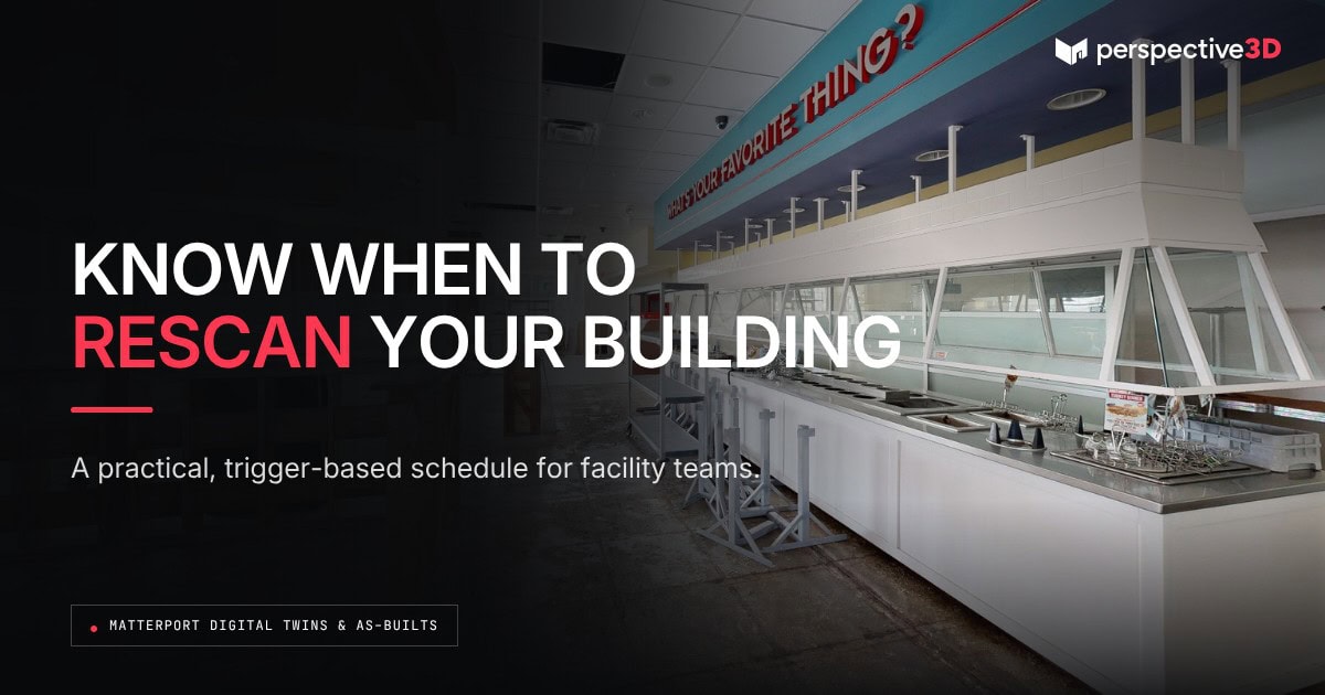
Keeping Your Digital Twin Current: A Practical Re-Scan Schedule for Facility Teams
A digital twin rescan schedule is the set of triggers a facility team uses to decide when to recapture a building, rather than a fixed calendar date. The most reliable schedule is tied to changes in the building itself — a renovation, a tenant buildout, or a significant equipment swap…
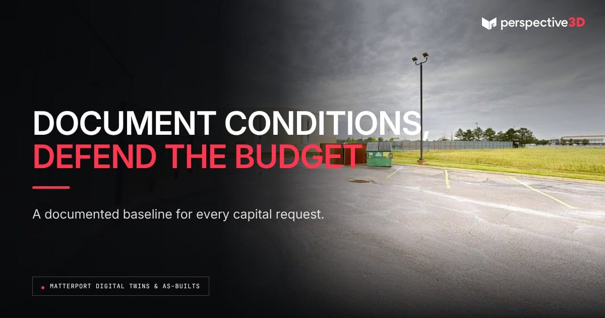
Capital Planning with Reality Capture: What CFOs and Facility Leaders Should Know
Capital planning reality capture replaces memory, outdated drawings, and a walkthrough nobody has time to schedule with a documented, dimensionally accurate model of a building. Facility leaders and CFOs use that baseline to compare conditions across a portfolio and decide which projects get funded first. This post is for facility…
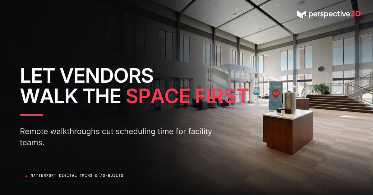
Vendor Coordination and Remote Walkthroughs: How Facility Teams Use 3D Twins
Vendor coordination remote walkthroughs let an outside contractor, vendor, or consultant review a space inside a Matterport digital twin before ever stepping on site. Facility teams use this to scope work, answer basic access and layout questions, and cut down on the visits that exist only to look around. This…
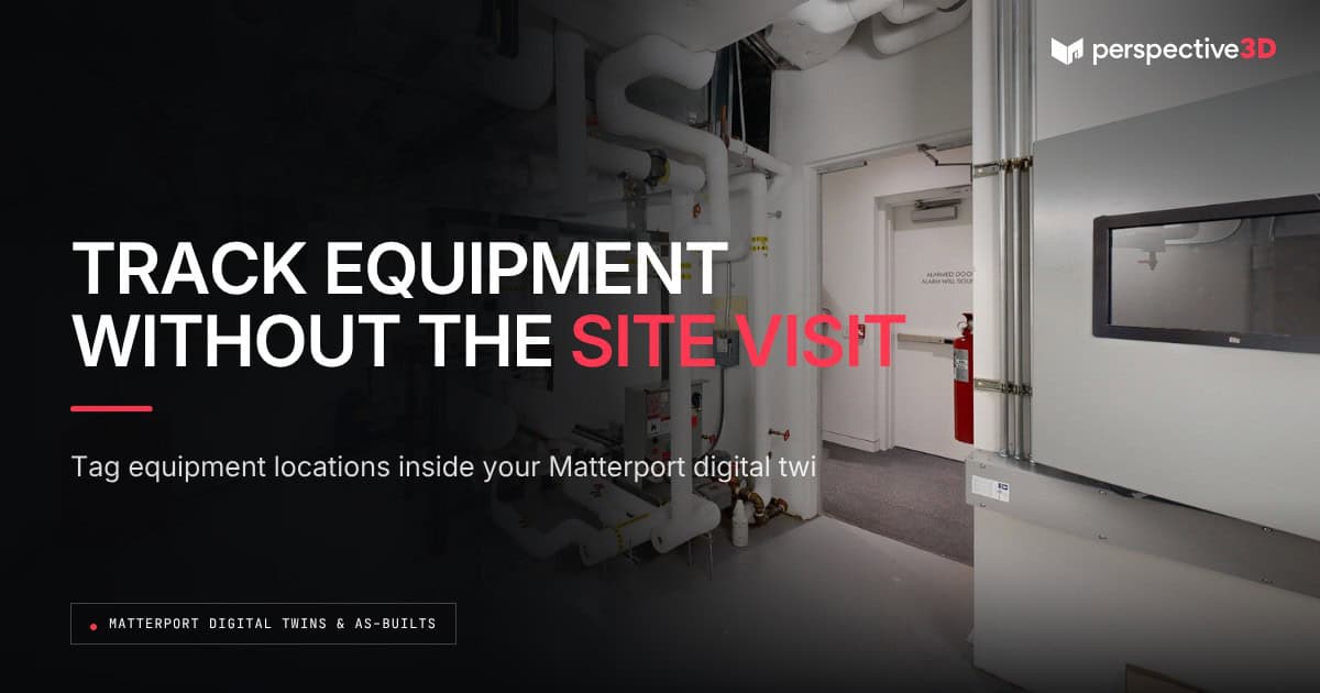
Using Matterport for Asset Management and Equipment Inventory
A Matterport digital twin gives facility teams a visual record of equipment locations, condition, and identifying details that supports asset management and equipment inventory work. Instead of a spreadsheet with no spatial context, the inventory is tied to exactly where each asset sits inside the building. This post is for…
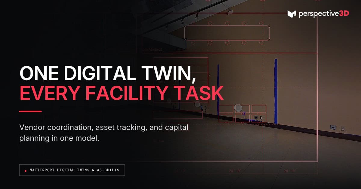
Matterport Digital Twins for Facility Management: From Drawings to Daily Operations
A Matterport digital twin gives a facility team one accurate model of a building that supports vendor coordination, asset tracking, capital planning, and daily operations. Instead of separate drawings, spreadsheets, and site visits for each task, the team works from the same spatial record. This post is for facility managers,…
Who Gets the Digital Twin When the Building Changes Hands?
When a building sells, the digital twin doesn’t automatically go with it. A Matterport scan lives in an account, and account access is a separate question from the deed — one that has to be handled directly, not assumed. This is written for building owners, investors, and their teams handling…
The Record No One Remembers Exists — Until They Need It
Buildings outlast the people who manage them. The record no one remembers exists is often the only accurate reference left once the person who held that knowledge in their head has retired, moved on, or changed employers. This is written for facility managers and building owners thinking about what happens…
What to Capture Now So the Record Still Works Later
What you capture at scan time decides whether the record still works later — not the software it’s stored in, and not how it was labeled at the time. Scope is the one decision that’s difficult to fix after the crew has already left the site. This is written for…
A Record That Outlives the Meeting It Was Made For
Most documentation gets made to answer one meeting’s question and then sits unopened until someone needs it for something else entirely. A record that outlives the meeting it was made for is documentation built with that second use already in mind — not as an afterthought, but as the actual…
Who Inherits This Building’s Record Five Years From Now?
Whoever manages this building five years from now will inherit whatever record exists of it today. If that record is a folder of drawings nobody trusts and a facilities manager’s memory, they inherit almost nothing. If it’s a Matterport digital twin, they inherit an accurate, navigable reference to the building…
Keeping Your Digital Twin Current: A Practical Re-Scan Schedule for Facility Teams
A digital twin rescan schedule is the set of triggers a facility team uses to decide when to recapture a building, rather than a fixed calendar date. The most reliable schedule is tied to changes in the building itself — a renovation, a tenant buildout, or a significant equipment swap…
Capital Planning with Reality Capture: What CFOs and Facility Leaders Should Know
Capital planning reality capture replaces memory, outdated drawings, and a walkthrough nobody has time to schedule with a documented, dimensionally accurate model of a building. Facility leaders and CFOs use that baseline to compare conditions across a portfolio and decide which projects get funded first. This post is for facility…
Vendor Coordination and Remote Walkthroughs: How Facility Teams Use 3D Twins
Vendor coordination remote walkthroughs let an outside contractor, vendor, or consultant review a space inside a Matterport digital twin before ever stepping on site. Facility teams use this to scope work, answer basic access and layout questions, and cut down on the visits that exist only to look around. This…
Using Matterport for Asset Management and Equipment Inventory
A Matterport digital twin gives facility teams a visual record of equipment locations, condition, and identifying details that supports asset management and equipment inventory work. Instead of a spreadsheet with no spatial context, the inventory is tied to exactly where each asset sits inside the building. This post is for…
Matterport Digital Twins for Facility Management: From Drawings to Daily Operations
A Matterport digital twin gives a facility team one accurate model of a building that supports vendor coordination, asset tracking, capital planning, and daily operations. Instead of separate drawings, spreadsheets, and site visits for each task, the team works from the same spatial record. This post is for facility managers,…