LiDAR + Digital Twins: The AEC Advantage
How Perspective 3D Combines Survey-Grade Accuracy with Immersive Visualization
LiDAR scanning services are transforming how AEC teams capture site data with precision, speed, and clarity. At Perspective 3D, we integrate CAD, BIM, and digital twin workflows to deliver survey-grade point clouds with immersive context.
LiDAR is Reshaping AEC Workflows
Measuring real-world spaces used to require tape measures, manual sketches, and hours of field time. Even early 3D scanning struggled with limited range, poor lighting conditions, and slow data capture.
Today, survey-grade LiDAR is driving a new era of precision, speed, and spatial intelligence across industries—from AEC to insurance, facility management, conservation, and more. At Perspective 3D, we combine high-density LiDAR scans with Matterport’s immersive visual layer to create dimensional data you can build on — from concept through construction.
What Is LiDAR and Why Does It Matter?
LiDAR (Light Detection and Ranging) captures spatial data using laser pulses to measure the distance between a scanner and surrounding surfaces. These laser pulses return millions of data points, forming an accurate 3D “point cloud” of the built environment.
Unlike systems that depend on ambient light, LiDAR emits its own laser light, making it highly effective in both darkness and daylight. It’s one of the most versatile and reliable tools for spatial documentation.
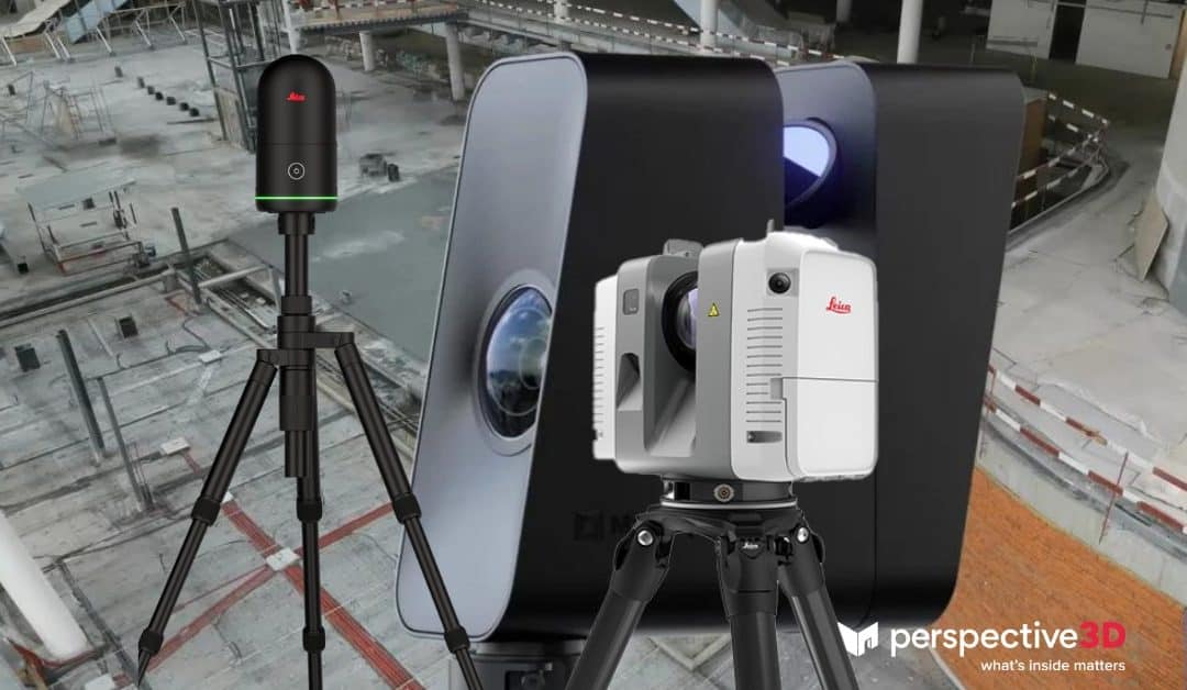
We deploy terrestrial LiDAR for static, high-resolution capture; mobile LiDAR for fast walk-throughs; handheld sensors for tight environments; and Matterport cameras to add photorealistic visual context. The result is a fully navigable, dimensionally accurate model that enhances every project phase.
The LiDAR Workflow, Simplified
Our multi-step process transforms laser scans into actionable models:
- Precision Capture: High-density spatial data collection with millimeter accuracy
- Noise Filtering: Removing outliers and environmental interference
- Scan Alignment: Registering multiple scans into one global coordinate system
- Surface Recognition: Classifying architectural elements and infrastructure
- Export & Integration: Deliverables prepared for Revit, AutoCAD, or your BIM platform
We overlay point clouds with 360º imagery from Matterport to provide a visual walkthrough that complements the spatial data — perfect for project teams, owners, and trades.
Top LiDAR Use Cases for AEC Projects
LiDAR supports critical AEC workflows across every project phase:
- As-Built Documentation: Capture existing conditions with high accuracy
- Clash Detection: Identify discrepancies between design and field reality
- Design Validation: Ensure model alignment before construction begins
- Progress Monitoring: Document changes over time with repeat scans
- Cross-Trade Coordination: Share rich context to align contractors and consultants
Types of LiDAR Hardware We Deploy
- Terrestrial LiDAR: Tripod-mounted, ultra-precise for indoor or facade work
- Mobile LiDAR: Backpack or vehicle-mounted for large-area scanning
- Handheld Sensors: Portable tools for hard-to-access or quick scans
We match equipment to your goals — every scan is handled by certified professionals using calibrated gear and QA-checked workflows.
Why AEC Firms Choose Perspective 3D for LiDAR
- Survey-grade point clouds and CAD deliverables
- Integrated Matterport visualization for stakeholder access
- Optimized exports for Revit, AutoCAD, and IFC formats
- Compliant, efficient, non-disruptive site capture
Whether you’re scanning for as-builts, QA, or design coordination, our LiDAR workflow ensures your teams can trust the data — and act on it.
Real-World LiDAR Benefits for Architecture and Construction Teams
- Accelerated design timelines with trusted as-builts
- Improved collaboration through visual communication
- Fewer change orders and rework
- Faster approvals and smoother handoffs
Read how our Golden Thread methodology connects data across the facility lifecycle.
Learn more about how NIST supports LiDAR in construction.
Additional Applications Across Industries
- Facility Management: Asset tracking, remote inspections, and maintenance planning
- Insurance & Restoration: Damage documentation, scope planning, and claims verification
- Historic Preservation: Non-invasive scans of heritage architecture
- Retail & Hospitality: Virtual walkthroughs and merchandising plans
- Environmental Mapping: Topographic and forestry data collection via drone
See LiDAR + Digital Twins in Action
Want to explore how Perspective 3D’s LiDAR services fit your next project? From floor plans and elevations to full 3D walkthroughs, our solutions are designed for project teams who value speed, accuracy, and coordination.
Explore in 3D. Design With Confidence.
Perspective 3D provides high-fidelity LiDAR scans and immersive Matterport experiences that support every phase of your AEC project lifecycle.
📞 Call us to scope your site: 616-312-3947
📄 Download the AEC LiDAR Guide
Enter your email to receive a PDF showing how Perspective 3D delivers CAD-ready LiDAR scans with Matterport visualization.
We hope you find this to be a valuable source of information to share with your team.
