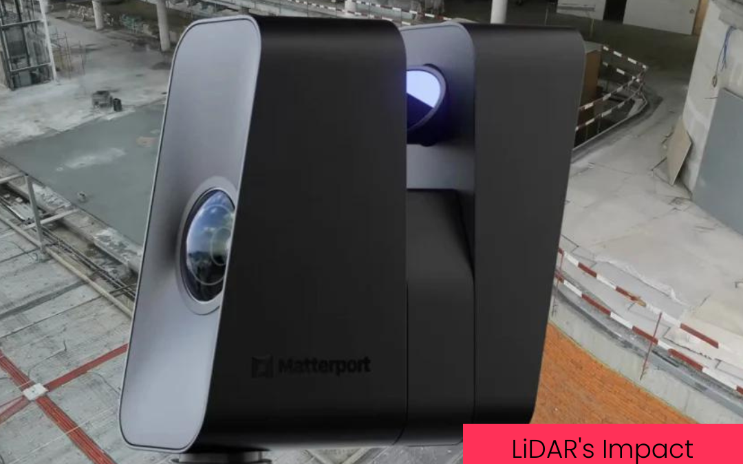
So much more than a fancy tool used by scientists and explorers, today LiDAR (laser scanned imaging) is being adopted by a wide variety of industries and, in particular, is making a significant impact in modern construction. In fact, experts predict the increasing demand for LiDAR technology in the construction industry will grow as much as $10 billion by 2024.
How it Works:
Laser scanning technology uses laser-light and radar to capture the details of a building or construction site by creating 3D representations called “point clouds.” These “point clouds” contain data that, when combined, make an amazingly accurate, digital, 3D model.
Because these images are so precise and can be created quickly with today’s cutting-edge technology, they provide considerable advantages to those in the building and construction business.
Today, LiDAR imaging is proving to be much more accurate and efficient than traditional 2D survey measurements. Higher accuracy and speed equals time and money saved in a field where the race against time and budget restrictions only intensifies yearly. Recent data shows that using LiDAR can cut construction costs up to 50% more than projects using traditional 2D scans. This all but guarantees that LiDar imaging is the future of construction surveys and imaging.
Applications in Construction:
Of the many important applications of LiDAR imaging in the construction industry, the design process, a project’s documentation and evaluation, and considerations for the future of a construction project/property are at the top of the list.
Design
LiDAR can be immensely useful during the initial design process before a building project begins. Traditionally, architects would base their designs on a property owner’s “as-built” drawings. Unfortunately, it’s not uncommon for the measurements and data in those first drawings to be off, which can cause mistakes, delays, and unexpected costs.
By choosing to start with the highly detailed and accurate 3D images that LiDAR offers, architects can enter the design phase with confidence in their measurements, and property owners can worry less about unexpected time delays and costs.
Documentation and Evaluation
Beyond initial surveys and design measurements, LiDar is an asset throughout the life of a build, from start to finish. The compilation of detailed scans form a permanent “as-built record” that can be accessed and utilized by property owners and contractors throughout the build. This provides a platform for multiple parties, even those working remotely, to document errors and solutions efficiently.
Having accessible, precise data that everyone working on the project can access and evaluate collaboratively is vital to the success of any construction project.
Staying Future Focused
The use and benefits of LiDAR imaging extend even beyond the completion of a construction project. The compilation of 3D images, measurements, and data collected throughout the life of a project provide valuable information for the future of the completed building.
From retrofitting and renovation to additions and even eventual demolitions, LiDAR imaging puts accurate, detailed data into the hands of property owners and contractors that will give them valuable confidence as they make decisions about a property’s future.
Challenges:
As is true with any technology, LiDAR has its unique challenges.
Even though data clearly shows that using LiDAR can significantly reduce the overall costs of a building project, the initial investment can give some property owners and project managers “sticker shock.”
The technology is also highly complex and requires an expert hand to give those in the construction industry the most value for their investment.
At Perspective3D, we take pride in staying on the cutting edge of 3D imaging technology. Whether you are a property owner or a general contractor, we have the right team of experts ready to help you get incredibly detailed 3D images that will take your construction project to the next level.
