
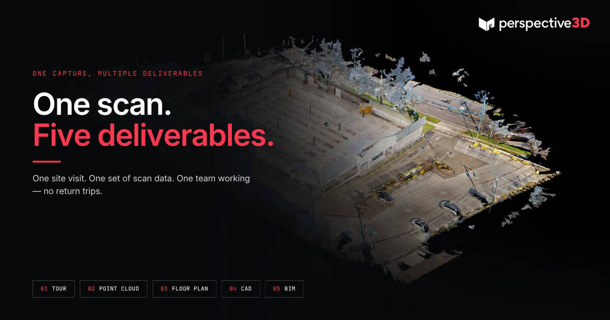
One site visit from Perspective 3D produces up to five distinct outputs — a Matterport 3D tour, a point cloud, a floor plan, CAD drawings and a Revit-ready BIM model. Each one is a different format, used by different people, for different purposes.
This post is for builders, architects, facility managers, and project owners who want to understand what they can request from a single scan — and which deliverable actually fits their project.
What do you actually get from one Matterport scan?
A single scan session captures the full geometry of a space in high-resolution 3D. From that raw capture, P3D can produce multiple deliverable types without returning to the building. The data collected on site is the foundation. What gets extracted from it depends on what the project requires.
The five standard deliverables are: the Matterport 3D tour, the E57 or LAS point cloud, the 2D floor plan, the CAD drawing, and the BIM model (Revit). Not every project needs all five. Most need two or three. Understanding what each one does helps you scope the right deliverables before you order the scan.
What is the Matterport 3D tour used for?
The Matterport 3D tour is a navigable, browser-based model of the space. Anyone with the link can walk through it, measure rooms, and view the building from any angle — without a special app or software.
It’s used for remote site access, stakeholder review, owner documentation, insurance walk-throughs, and pre-construction coordination. Project managers use it to check conditions without scheduling site visits. Architects use it to review existing conditions before design begins. Restoration contractors use it to document damage the day they arrive.
The Matterport tour is the most widely used deliverable because it requires no software expertise to access. If someone on your team needs to see the space but can’t be on site, the tour handles it.
What is a point cloud, and who uses it?
A point cloud is a dense set of X, Y, Z coordinates that defines the geometry of the space at a measurable level of precision. It’s not a visual experience — it’s data. The file formats are typically E57 or conversion to .rcs/.rcp for import into CAD or REVIT.
Architects and engineers use point clouds as the raw input for CAD and BIM work. Surveyors use them for site verification. Construction managers use them to compare as-designed versus as-built conditions.
Not every project needs a point cloud as a standalone deliverable. If you’re ordering CAD drawings or a BIM model, the point cloud is an intermediate step — P3D processes it on your behalf as part of the workflow. If your own team works in CAD or BIM software and needs the raw data to model from, you can request the E57 file directly.
What is a 2D floor plan from a scan, and when do you need one?
A 2D floor plan extracted from a Matterport scan shows room dimensions, wall locations, and overall layout — produced from the scan data rather than from tape measures or manual drafting.
Schematic floor plans derived from the 3D scan are used for lease documentation, space planning, property listings, and facilities work where a clean, dimensioned layout is needed but full CAD or BIM output isn’t required. They’re faster to produce than CAD drawings and sufficient for many use cases.
The difference between a 2D floor plan and a CAD drawing is specificity. A floor plan gives you the room layout. A CAD drawing gives you construction-grade geometry — wall thicknesses, structural elements, mechanical penetrations — depending on scope.
What is scan to CAD, and when do you need it?
A CAD drawing produced from scan data is an as-built representation of the space in DWG format, usable in AutoCAD, Revit, and most AEC software. It reflects what was actually built, not what was designed.
Architects use CAD drawings as the starting point for renovation design. Contractors use them for estimating and coordination. Facility teams use them as record documents. The deliverable replaces the traditional field survey — one scan session produces what used to require two or three visits with a measuring tape and a clipboard.
CAD drawings are scoped by what gets included. Wall centerlines are standard. Structural elements, MEP penetrations, millwork, and ceiling conditions are add-on scope items. Define what your team needs before the scan so the deliverable matches your workflow.
What is a BIM model from a scan, and who requires it?
A BIM model produced from scan data is typically a Revit file that gives AEC teams a 3D, parametric representation of the existing building. It’s the highest-fidelity deliverable and the most time-intensive to produce.
BIM models are required on larger renovation projects, institutional work, and projects where multiple consultants need to coordinate from a shared model. Architects specify the Level of Detail (LOD) — typically LOD 200 to LOD 350 — which defines how much information is modeled into each building element.
The deciding factor is how many consultants need to work from the same model. A single-floor tenant renovation with one design team usually works fine from CAD. Projects with multiple consultants coordinating from a shared file — architects, MEP engineers, structural — are where a Revit model earns its cost.
Where this approach has limits
Not all spaces scan equally. Areas with highly reflective surfaces, transparent materials, or very low light may produce gaps in coverage that affect the point cloud’s usability for precise CAD or BIM work. P3D assesses these conditions on site and flags any coverage limitations in the delivery documentation.
Deliverable accuracy is also scope-specific. A floor plan delivered for space planning is not the same accuracy standard as a CAD drawing for construction documentation. Define the intended use upfront — it determines how the deliverable is produced.
What’s the difference between a Matterport tour and a point cloud?
A Matterport tour is a visual, navigable experience anyone can access in a browser. A point cloud is a coordinate dataset used by CAD and BIM software. Both come from the same scan session. The tour is for viewing. The point cloud is for modeling and measurement.
Can I order all five deliverables from a single scan session?
Yes. One P3D site visit captures the data needed to produce all five outputs. Deliverables are scoped and priced based on what gets extracted from the raw capture. You don’t need a second visit to add a deliverable type — as long as the original scan coverage was sufficient.
How long does it take to receive each deliverable?
The Matterport 3D tour is typically delivered within 24 hours. Point clouds and 2D floor plans follow within 2–5 business days. CAD drawings within 5–10 business days. Revit BIM models within 10–20 business days depending on LOD and scope. Timelines are confirmed before delivery begins.
Do I need to specify deliverables before the scan?
Yes. Some deliverable types require specific capture settings. Define requirements before scheduling so P3D can confirm the scan plan matches your scope. Adding scope after the fact is sometimes possible — but not always.
What file formats does P3D deliver for CAD and BIM work?
CAD drawings in DWG and PDF. Point clouds in E57 or LAS. BIM models in RVT (Revit), with IFC export available on request. Matterport tour links are browser-based. All formats confirmed at scope review before the project begins.
Is a Matterport scan accurate enough for construction documentation?
Matterport captures at ±1% accuracy under typical conditions — sufficient for most renovation and as-built work. For tighter tolerances, LiDAR scanning may be specified. P3D offers both and recommends based on your project’s requirements.
Related reading:
Matterport Tour vs Point Cloud: What’s the Difference?
Scan-to-BIM Workflows: What Architects Need to Know
Matterport to CAD Floor Plans: What’s Possible Today
Why 24-Hour Scan Delivery Changes How Your Team Makes Decisions
Call 616-312-3947 or visit perspective3-d.com/contact.