
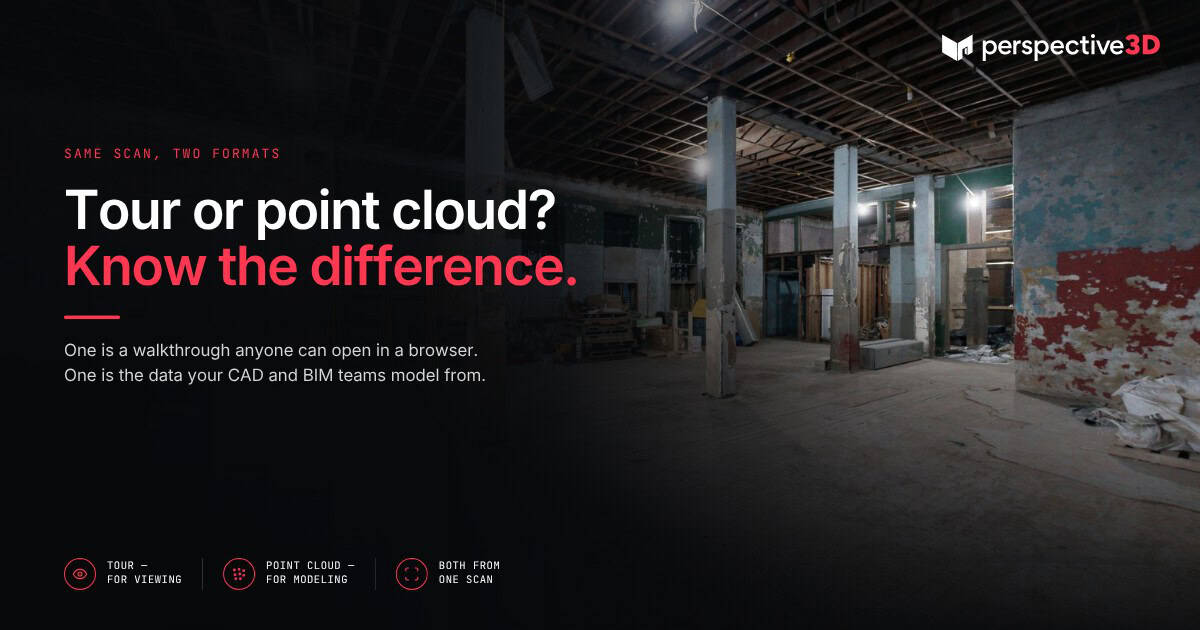
A Matterport tour and a point cloud come from the same scan session, but they are not the same thing. The tour is a visual experience anyone can navigate in a browser. The point cloud is a coordinate dataset that CAD and BIM software uses to model the space.
This post is for project managers, architects, and AEC teams trying to understand what to request from a scan — and whether they need one deliverable, the other, or both.
What is a Matterport 3D tour?
A Matterport tour is a navigable, browser-based model of a physical space. Anyone with a link can walk through it, view rooms from multiple angles, take measurements, and annotate what they see — without installing software or visiting the site.
Teams use Matterport tours for remote site access, owner documentation, insurance walk-throughs, RFI reference, and stakeholder review. You don’t need CAD or BIM software. You click a link, and you’re inside the building.
P3D delivers a shareable Matterport link within 24 hours of the scan session. The link can be shared with an unlimited number of viewers and embedded in websites, project management tools, or documentation systems.
What is a point cloud?
A point cloud is a collection of millions of data points — each with precise X, Y, Z coordinates — that together define the geometry of a scanned space. It’s not something you navigate visually. It’s a file, typically E57 or LAS format, that CAD and BIM software reads as input for modeling.
Architects use point clouds as the starting geometry for CAD drawings and Revit models. Engineers use them to verify as-built conditions against design drawings. The point cloud is the data layer that makes precise, measurable output possible.
For most renovation and documentation projects, Matterport’s point cloud output is sufficient. For projects requiring sub-millimeter precision, terrestrial LiDAR may be specified instead.
When do you need the Matterport tour only?
If the goal is visual reference, remote review, or owner documentation, the tour is usually sufficient. Common use cases: property documentation for portfolio records, insurance damage walk-throughs, pre-bid site access for subcontractors, tenant coordination during construction, and remote review by stakeholders who can’t travel.
The tour is not the right deliverable when construction-grade accuracy or CAD/BIM integration is required.
When do you need the point cloud only?
Some teams don’t need the visual walk-through — they need the raw geometry for their own modeling workflows. A structural engineer verifying existing column locations, or an architect tracing walls in AutoCAD, may only need the E57 file. Confirm scope with P3D at the time of scheduling.
When do you need both?
Most AEC projects benefit from both. The Matterport tour goes to the project team for reference. The point cloud goes to the design team for CAD or BIM work. Both come from the same scan session — no second visit required.
On a typical renovation project, the Matterport tour goes to the ownership group for remote review within 24 hours, while the point cloud goes to the architect of record for existing conditions modeling. Different audiences, different formats, same underlying scan data.
Where the tour and point cloud have different limits
Measurements taken inside the Matterport interface carry ±1% accuracy — sufficient for space planning, not for construction layout. Point clouds from Matterport capture are accurate for most documentation work, but highly reflective surfaces, transparent glass, and spaces with very low contrast can produce gaps or noise. P3D documents coverage notes with every delivery.
Can I get both from one scan session?
Yes. One P3D site visit produces both. The tour delivers within 24 hours. The point cloud delivers within 2–5 business days. No separate visit needed.
What file format is the point cloud delivered in?
P3D delivers point clouds in E57 or LAS format. E57 is compatible with AutoCAD, Revit, Rhino, and most professional CAD and BIM platforms. Confirm your required format when placing your order.
Is a Matterport point cloud accurate enough for CAD work?
For most renovation and as-built documentation at LOD 200–300, yes. Projects requiring sub-millimeter precision may require terrestrial LiDAR. P3D offers both and will recommend based on your project requirements.
How large is a point cloud file?
A typical 5,000–10,000 sq ft commercial space produces 1–5 GB. Larger buildings produce proportionally larger files. P3D can provide an estimate before the scan based on your building’s scope.
Can my team measure inside the Matterport tour?
Yes. The Matterport interface includes measurement tools for distance and area. Accuracy is approximately ±1% — useful for space planning and coordination reference, not a substitute for CAD-grade documentation.
Related reading:
One Scan. Five Deliverables. Here’s What Each One Is Used For.
Matterport to CAD Floor Plans: What’s Possible Today
Scan-to-BIM Workflows: What Architects Need to Know
Call 616-312-3947 or visit perspective3-d.com/contact.