
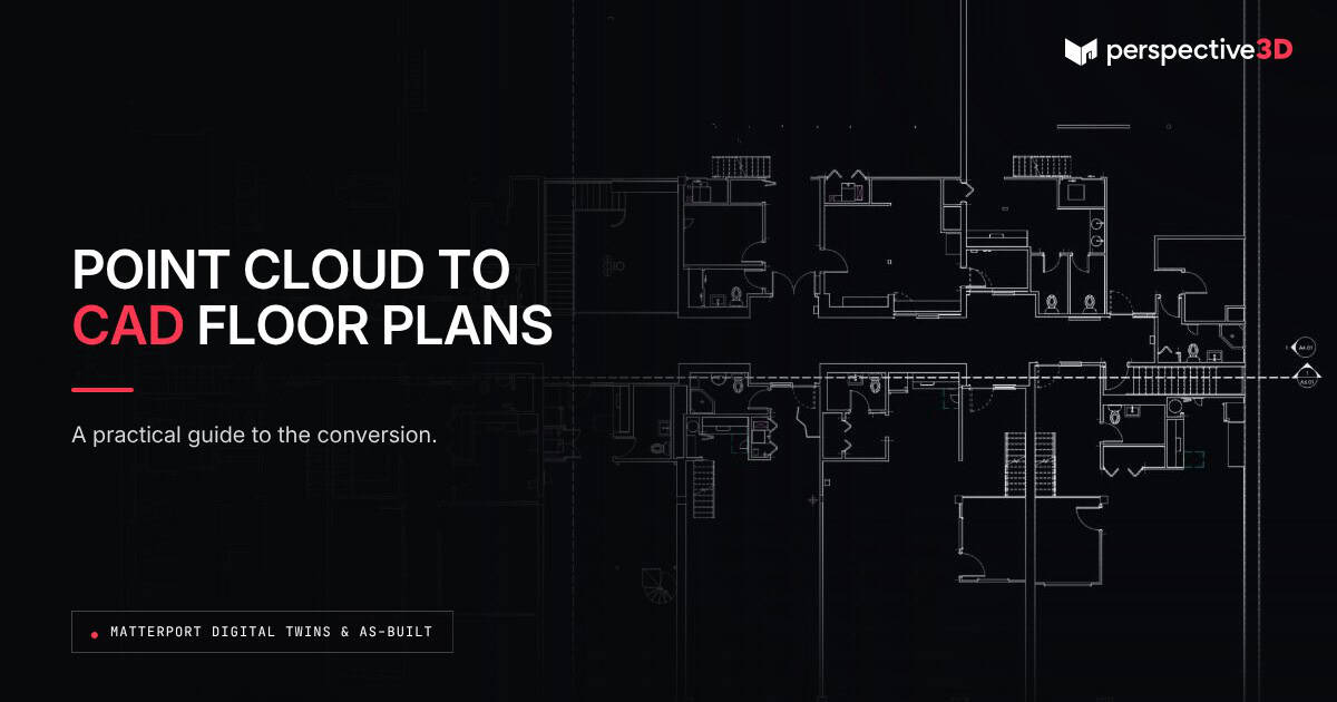
Converting a Matterport point cloud to CAD floor plans is a defined extraction and drafting process — not an automatic export. The point cloud gives a drafter accurate measurements to work from; turning that into a usable drawing still takes manual review and formatting to the standard your project needs. Knowing what that process actually involves helps a project team set realistic expectations for turnaround and cost.
This post is for anyone who has point cloud data and needs to know what it takes to turn it into a floor plan or CAD file their team can actually use, including what it costs and how the quality check works.
What is a point cloud, exactly?
A point cloud is a dense collection of X, Y, Z coordinates captured by the scanner, representing every visible surface in the space. It’s not a drawing — it’s raw measurement data, typically delivered as an E57 or RCP file. Viewed in the right software, it looks like a 3D dot-matrix version of the building, accurate but not yet organized into walls, doors, or rooms.
How do you convert a Matterport point cloud to CAD floor plans?
A drafter imports the point cloud into CAD software and traces the building’s geometry directly from the measured data — wall lines, door openings, window locations, and room boundaries. Software can auto-detect some of this, but a person still checks every line against the point cloud and the accompanying 360-degree imagery before the floor plan is considered final. The output is typically delivered as a PDF for review and a DWG file for teams working in AutoCAD or similar software.
What’s possible beyond a basic floor plan?
Point cloud data can support more than a flat 2D plan. It can feed a full CAD drawing set with dimensions and annotations for permitting, a Revit model for design coordination, or a reflected ceiling plan showing ceiling-mounted elements. What’s possible depends on what was scoped — a basic floor plan takes less time than a fully annotated CAD set, and it’s worth deciding upfront which one the project actually needs.
Because all of these outputs come from the same underlying point cloud, a project doesn’t have to pick one and commit permanently. A team that starts with a basic floor plan for early scoping can request the full CAD set or Revit model later, drawn from the same original capture, without scheduling a second scan.
What quality checks happen before a floor plan or CAD file is delivered?
Every wall, door, and dimension extracted from the point cloud is checked against the source data and the 360-degree imagery before delivery — not just against the software’s automated output. Automated extraction is a starting point, not a final answer; a drafter still confirms door swing direction, wall thickness, and any irregular geometry the software may have simplified incorrectly.
What does this cost, and how long does it take?
Turnaround depends on building size and deliverable complexity. A basic 2D floor plan for a small commercial space can be ready within a day or two of the point cloud being finalized. A full CAD drawing set with dimensions and annotations takes longer, since every element needs individual verification. Cost scales with square footage and level of detail, not with the scan itself — the site visit is the same regardless of which deliverable comes out of it.
Where this matters for Michigan AEC teams
Architecture firms bidding renovation work often need a floor plan fast just to scope the project accurately, then follow up with a full CAD or BIM deliverable once the project is confirmed. Getting the floor plan first, without waiting on the more detailed deliverable, is a scheduling advantage when a proposal deadline is close.
Where point cloud conversion has limits
A floor plan or CAD drawing built from a point cloud only shows what the scanner could see. It won’t show what’s inside a wall cavity, above an inaccessible ceiling, or below a slab. If a project needs that kind of information, it requires a different investigation method — the point cloud conversion is accurate for what it documents, not a substitute for destructive or invasive testing.
The same limit applies to anything added or removed after scan day. A floor plan reflects conditions at the moment of capture. If a wall goes up or comes down the week after scanning, the drawing needs to be updated against a new or supplemental capture — it doesn’t update itself.
Frequently Asked Questions
Do I need special software to open a point cloud file?
Yes. E57 and RCP files require point cloud viewing or CAD software with point cloud support, such as Autodesk ReCap or a compatible plugin in Revit or AutoCAD. Most clients don’t need to open the raw file themselves — they work from the converted floor plan or CAD deliverable instead.
Can I get just the floor plan now and the full CAD set later?
Yes. Since both deliverables come from the same point cloud, the floor plan can be delivered first and the full CAD or BIM set produced later without a second site visit.
How accurate is a floor plan converted from a point cloud?
Accuracy is tied to the scan itself — typically within roughly half an inch — carried through the conversion as long as the drafting review is done carefully against the source data.
Can I request changes to the floor plan after it’s delivered?
Yes, within reason. Since the source point cloud is kept on file, corrections or added detail can usually be handled by returning to that data rather than rescanning the building.
Related Reading
- From Matterport Scan to Construction-Ready As-Built: The Workflow Explained
- Common Mistakes in Matterport-to-As-Built Conversions (and How to Avoid Them)
- One Scan. Five Deliverables. Here’s What Each One Is Used For.
Have a point cloud and need a floor plan or CAD set built from it? Call 616-312-3947 or visit perspective3-d.com/contact.