
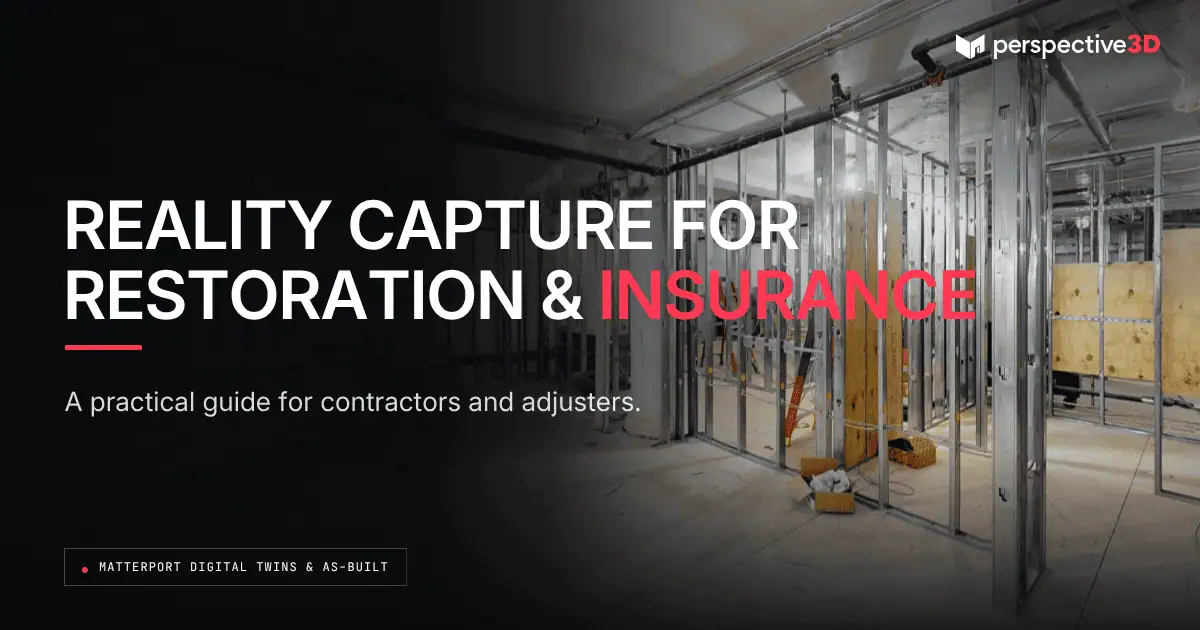
Reality capture gives restoration contractors and insurance professionals a shared, accurate record of a loss from the first site visit through claim close. It speeds up scoping, keeps the contractor and adjuster working from the same information, and supports the claim file at every stage of a restoration and insurance project.
This guide is for restoration contractors, insurance adjusters, and property managers who want to know how reality capture actually works, day to day, on a restoration and insurance claim — not why it matters in the abstract, but how it fits into each step of the job, from first call to close.
What happens during the initial site visit and scoping?
The initial site visit is when the contractor walks the loss and captures a 3D scan of every affected area before demolition, drying equipment, or contents removal changes the space. That scan becomes the baseline record the estimate, the adjuster review, and the restoration and insurance claim file all reference back to.
A typical scoping visit means walking every room, hallway, and affected space with a Matterport scanner, capturing ceilings, walls, and floors in one pass. For a water loss, that includes rooms with visible damage and adjacent rooms where moisture may have traveled but isn’t yet visible. For a fire or smoke loss, it means capturing char patterns, soot lines, and structural exposure before cleanup begins.
Because the scan captures the entire space in one visit, the contractor doesn’t need a second trip to recheck a measurement or confirm a room dimension. That’s the direct effect on scoping speed: fewer callbacks, fewer disputes about what a room actually looked like on day one, and an estimate built from a real spatial record instead of notes and phone photos.
The scan also supports the people writing the estimate after the site visit ends. An estimator working from the office can pull exact room dimensions, ceiling heights, and material types directly from the model instead of calling the technician on site to ask. On a multi-room or multi-unit loss, that adds up: the scoping visit produces one complete data set the whole team draws from, rather than a stack of individual measurements that have to be reconciled by hand.
How does reality capture document the loss itself?
Reality capture documents the loss by recording the condition of the space, room by room, at a single point in time before remediation begins. That record includes dimensions, materials, visible damage, and the spatial relationship between rooms — information a written estimate or a folder of photos can’t fully convey on its own.
For water losses, the scan captures water lines on walls, cupping or buckling in flooring, and the extent of affected drywall before it’s cut out. For structural or fire damage, it captures framing, ceiling condition, and any areas that were open to the elements. This matters because remediation work often starts within 24 to 48 hours of the loss — walls get cut, flooring gets pulled, and the original condition is gone. The scan is the only record of what the space looked like before that work started.
This documentation doesn’t replace the contractor’s written scope or the adjuster’s own notes. It gives both of them a spatial reference they can return to weeks or months later, when the estimate is being reviewed or a supplemental claim is being prepared.
Contents and personal property fall into the same category. A scan captures the room a piece of furniture or equipment sat in, at the condition it was in, before pack-out begins. That doesn’t replace a contents inventory, but it does anchor that inventory to a specific room and a specific date, which matters if a contents dispute comes up later in the claim.
How do contractors and adjusters coordinate around the scan?
Contractors and adjusters coordinate on a restoration and insurance claim by sharing a single scan link that lets the adjuster walk the space remotely, at their own pace, without scheduling a second site visit. The adjuster can review room dimensions, check damage extent, and compare the space against the written estimate — all from the same digital walkthrough the contractor used to build the scope.
This matters most when an adjuster is managing a caseload across multiple properties and can’t get to every site in person right away. A shared scan doesn’t replace an in-person inspection when one is warranted, but it does let the adjuster do a first-pass review, flag questions, and request clarification before committing time to a site visit. Following IICRC-referenced restoration standards, contractors document losses in a way that’s meant to hold up under exactly this kind of review — a consistent, repeatable record rather than a one-off set of photos, per the IICRC.
For a closer look at what documentation holds up under adjuster review, see our related post on reality capture for restoration and insurance claims. That post covers the evidentiary side — what makes documentation defensible after the fact. This guide covers how the workflow actually runs day to day.
Coordination doesn’t stop once the initial estimate is approved. On larger losses, a supplemental claim often comes up weeks into the job, once hidden damage is found behind a wall or under flooring that looked fine at first pass. When that happens, the original scan still exists as a reference point — the contractor and adjuster can confirm what was and wasn’t visible during the initial visit, which keeps the supplemental request grounded in the same record everyone already agreed on.
Where does pre-loss and post-loss scanning fit into the process?
Pre-loss and post-loss scanning fit into the process as two ends of the same comparison: a baseline scan taken before a loss occurs, and a scan taken after. When both exist, the difference between them is the clearest record available of what changed.
Most restoration and insurance claims only have the post-loss side, because most properties haven’t been scanned before a loss happens. That’s still useful — the post-loss scan documents current condition and supports the estimate. But property owners and managers who scan buildings on a regular schedule, ahead of any loss, give themselves and their insurer a documented “before” to compare against. That comparison shortens the argument about what’s original damage, what’s new damage, and what falls outside the current claim.
For multi-unit properties, portfolios, or buildings with a history of claims, a standing pre-loss scanning plan is worth setting up before the next loss happens, not after.
Property managers running scanning on a set cadence — annually, or after any major tenant turnover — build a library of baseline records across a whole portfolio. When a loss occurs at any one property, the relevant baseline is already on file. That removes a step from the claim process: instead of arguing over what a space probably looked like before the loss, the comparison is already documented.
How does reality capture fit the restoration timeline, and what does it cost?
Reality capture fits at the front of the restoration timeline, typically within the first one to three days after a loss is reported, and its cost scales with the size and complexity of the space, not the size of the claim. A scan of a single affected unit takes a fraction of the time a full estimate walkthrough takes, and the digital model, floor plan, and measurement data are usually ready within 24 hours, matching P3D’s standard delivery turnaround.
The deliverables a contractor or adjuster receives typically include a walkable 3D model, a measured floor plan, and still images pulled from the scan for use in the estimate or claim file. None of that changes the restoration schedule — the scan runs alongside mitigation, not instead of it, and drying equipment or emergency board-up work starts on the same timeline it always would.
Cost is tied to square footage and room count, not to the dollar value of the claim, so a scan of a single water-damaged bedroom and bath costs less than a scan of a full commercial floor with a dozen rooms. Deliverables are provided in formats that fit directly into the workflow a contractor or adjuster already uses — floor plans and still images that drop into an existing estimate, and a model link that opens in a browser without extra software. That’s a deliberate choice: the scan should fit the existing claim workflow, not force a new one.
Where reality capture changes the timeline is later in the claim, when a question comes up about scope, square footage, or damage extent. Instead of scheduling another site visit, the contractor or adjuster pulls up the existing scan. That’s often the difference between resolving a question in an afternoon and losing a week to a callback — and it’s why more contractors are building reality capture into their restoration and insurance workflow from the start, rather than treating it as an extra step.
A West Michigan example
Consider a Grand Rapids restoration contractor responding to a multi-unit water loss in an older apartment building. The initial site visit turns into a full building scan — every affected unit, the shared hallway, and the mechanical room where the pipe failed. The adjuster, working a caseload that spans several West Michigan counties, reviews the scan that same afternoon and flags two units where damage looks less severe than the estimate suggests. The contractor and adjuster resolve the question over a phone call, using the scan as a shared reference, without scheduling a second site visit that would have added a week to the timeline. Three weeks later, when the property manager asks for updated documentation to close out a supplemental request for one unit’s flooring, the contractor points back to the same scan instead of returning to the building.
Where does this approach reach its limits?
Reality capture works best when it’s brought in early, before remediation changes the space — the further into a job you wait, the less there is left to document. If a wall has already been cut open and the drywall discarded before a scan happens, that record is gone, and no scan afterward recovers it.
A scan also documents condition, not cause. It shows what a space looked like at a point in time — it doesn’t determine why a pipe failed or how long water sat before it was discovered. Those questions still belong to the adjuster’s investigation, the contractor’s moisture readings, and any additional testing the claim requires.
And a scan is one part of a claim file, not the whole file. It works alongside written estimates, moisture logs, and photos — not as a replacement for any of them. Access matters too: a scan requires someone on site to capture it, so on an emergency after-hours loss, the first priority is always stabilizing the property, not scheduling the scan. The scan happens as soon as it’s safe to bring someone in, which is usually still well ahead of demolition.
The question worth asking before a loss happens isn’t whether to skip the scan, but how early in the process it can be scheduled so it captures the most complete record possible.
Frequently Asked Questions
How soon after a loss should a reality capture scan happen?
As close to the initial site visit as possible, before demolition, drying equipment, or contents removal changes the space. Most scans happen within the first one to three days after a loss is reported, alongside the contractor’s scoping walkthrough.
Does a 3D scan replace the contractor’s written estimate?
No. The scan is a spatial record that supports the estimate — it doesn’t replace the line-item scope the contractor writes. Adjusters and contractors use both together: the estimate for pricing and scope, the scan for verifying dimensions and condition.
Can insurance adjusters access the scan without visiting the site?
Yes. The scan is delivered as a shareable link the adjuster can open on any device to walk the space, take measurements, and review damage remotely. This doesn’t replace an in-person inspection when one is required, but it does support a faster first-pass review.
What happens if remediation has already started before a scan is done?
Whatever has already been removed or altered won’t appear in the scan. A scan taken after demolition begins still documents current condition, but it can’t recover the original state of anything that’s already been cut out or discarded.
Is reality capture used differently for pre-loss versus post-loss documentation?
Yes. Pre-loss scans are scheduled on a routine basis, before any loss occurs, to create a baseline record of a property’s condition. Post-loss scans happen after a loss is reported and document current damage. Used together, they let a contractor or adjuster compare before-and-after condition directly.
Related Reading
- How Matterport Scans Speed Up Restoration Scoping
- Insurance Adjuster 3D Documentation: What Actually Holds Up
- Pre-Loss and Post-Loss Scanning: Building the Case Before and After
- Restoration Scan: Costs, Timelines, and Deliverables
- Pre-Loss and Post-Loss Scanning: Why Both Matter
Call 616-312-3947 or visit perspective3-d.com/contact.