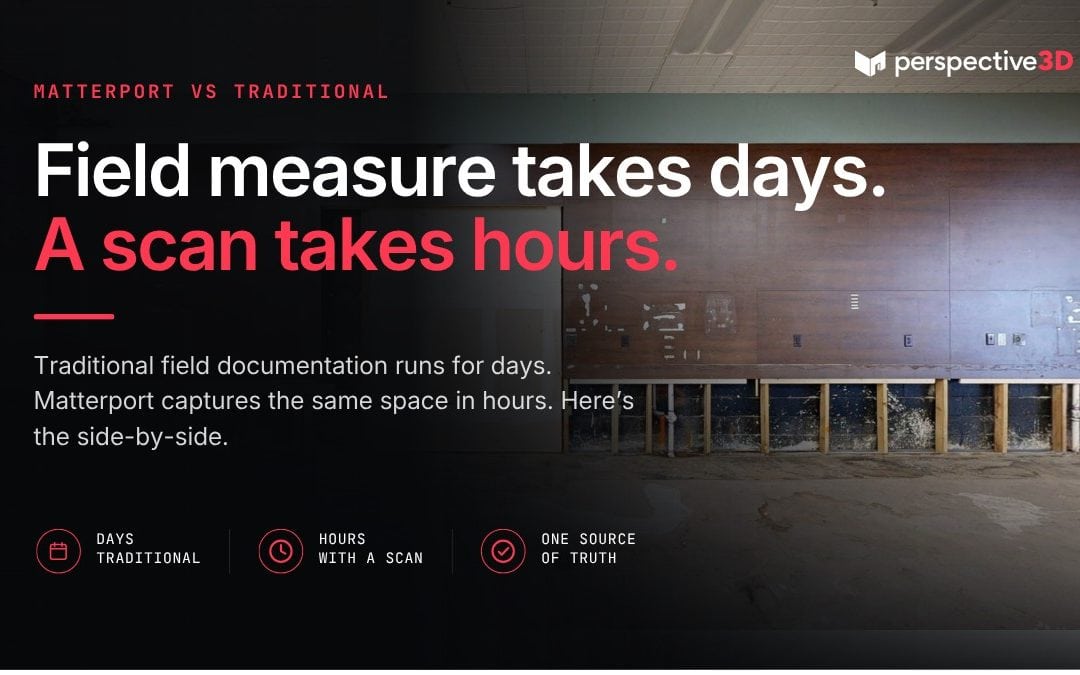
Matterport compared to traditional field documentation: one method takes 24 hours, the other takes 5 to 10 business days. This post breaks down the actual timeline difference for Michigan AEC teams and explains why the gap matters more at some project stages than others.
This is for project managers, estimators, architects, and GCs who are evaluating Matterport compared to traditional field documentation — and want to understand exactly where the timeline difference comes from before they make a decision on an active project.
What does traditional field documentation actually take?
The field documentation process for a commercial building typically looks like this:
Day 1: A field team visits the site. They take measurements with a laser measure or tape, document conditions with a camera or phone, sketch room layouts by hand, and note anything relevant for the design team. For a 10,000 square foot building, this takes 4 to 8 hours.
Days 2–4: The field team organizes their notes, processes their photos, and prepares a CAD drawing or a set of redline markups from the original drawings. If a specific dimension is unclear or a measurement is missing, someone has to go back to the site.
Day 5+: The documentation package — drawings, photos, notes — is assembled and distributed to the rest of the project team. Reviews happen, questions arise, and return trips often follow.
Total time from site visit to usable project documentation: 5 to 10 business days on the shorter end.
What does Matterport actually take?
Day 1: We scan the building. For a 10,000 square foot space, that’s typically 2 to 4 hours on site. We upload the data before leaving.
Day 2, morning: The Matterport model processes overnight. We quality-check and deliver before noon — often earlier.
The full project team can access the navigable 3D model, point cloud files, and schematic floor plans within 24 hours of scan completion.
Total time from site visit to usable project documentation: 1 business day. There is a considerable time savings using Matterport compared to traditional field documentation using hand measurements.
Matterport Compared to Traditional Field Documentation: Where the Time Difference Comes From
Three places:
Capture is faster. A Matterport Pro3 camera captures a scan position in under a minute. A single technician covers 10,000 square feet in a few hours. Traditional field documentation of the same space — measuring every room, noting every condition, photographing what matters — takes a full field team most of a day.
There’s no manual drawing step. Traditional documentation produces measurements that have to be translated into drawings by someone who wasn’t there — usually a drafter or junior engineer. That conversion step takes time, introduces interpretation, and requires review. Matterport’s processing produces a spatial model directly from the scan data. The floor plan and point cloud come out of processing automatically.
Review doesn’t require a return trip. When the project team has a question about conditions — ceiling height in a mechanical room, the location of a structural column, clearance above a grid ceiling — they look it up in the model. With traditional documentation, that question sends someone back to the site.
Matterport Compared to Traditional Field Documentation: When Does Each Make Sense?
For small spaces with simple geometry — a single room, a short corridor, a retail bay — hand measuring is fast, cheap, and accurate enough.
Traditional methods also make more sense when you only need a single dimension or a visual reference, not a navigable model or a point cloud for CAD work.
The break-even point depends on the project. For most Michigan commercial projects — anything above 2,000 square feet with multiple rooms and multiple stakeholders — the time saved in documentation, review, and return visits typically exceeds the cost of scanning. The Associated General Contractors of America consistently identifies documentation inefficiency as a leading driver of construction rework costs.
What’s the honest limit of the Matterport advantage?
Matterport produces a spatial model. It is not a substitute for engineering measurements, structural analysis, or code-compliance verification. For projects where specific dimensions need to be certified or where conditions have legal significance, the point cloud should be referenced in CAD software — not the in-model measuring tool alone.
Matterport also can’t document everything. Mechanical systems inside walls, substrates beneath flooring, roof conditions inaccessible from the interior — these require other documentation methods. The scan captures what the camera can see from each position.
For projects with both a documentation need and a conditions assessment need, the scan handles the spatial record. Other assessors handle the rest.
Frequently Asked Questions
How accurate are Matterport’s measurements compared to hand measuring?
Matterport’s measuring tool is accurate within ±1% for most applications in typical indoor environments. For a 100-foot room, that’s within 1 foot. For engineering or code-compliance purposes, verify critical dimensions in the point cloud using CAD software.
Can I use Matterport output instead of field-measured drawings?
It depends on your use case. For space planning, tenant coordination, contractor bidding, and renovation scoping, yes. For permit submissions, structural engineering, or legal documentation, verify with your engineer or authority having jurisdiction whether the output format meets their requirements.
What if we already have a traditional documentation package — is scanning still worth it?
If the existing documentation is current and accurate, scanning may not add value. If the documentation is outdated, incomplete, or inconsistent with current conditions — which is common for buildings modified since the last drawing update — scanning produces an accurate current-conditions record that resolves the discrepancy.
Do you do both scanning and traditional documentation?
P3D’s service is Matterport 3D scanning and LiDAR reality capture. For projects that need some field verification, we can include critical measurements like ceiling deck and for ADA compliance, restroom fixtures and entryways.
How do subcontractors typically use the model?
Most commonly: verifying clearances before quoting, coordinating MEP routing, reviewing existing conditions before field work begins. The model gives every subcontractor on the project access to the same spatial reference without requiring a site visit.
Related Reading
- Why 24-hour scan delivery changes how your team makes decisions
- How Matterport pricing works for commercial buildings
Ready to compare timelines on your project? Call 616-312-3947 or visit perspective3-d.com/contact.