
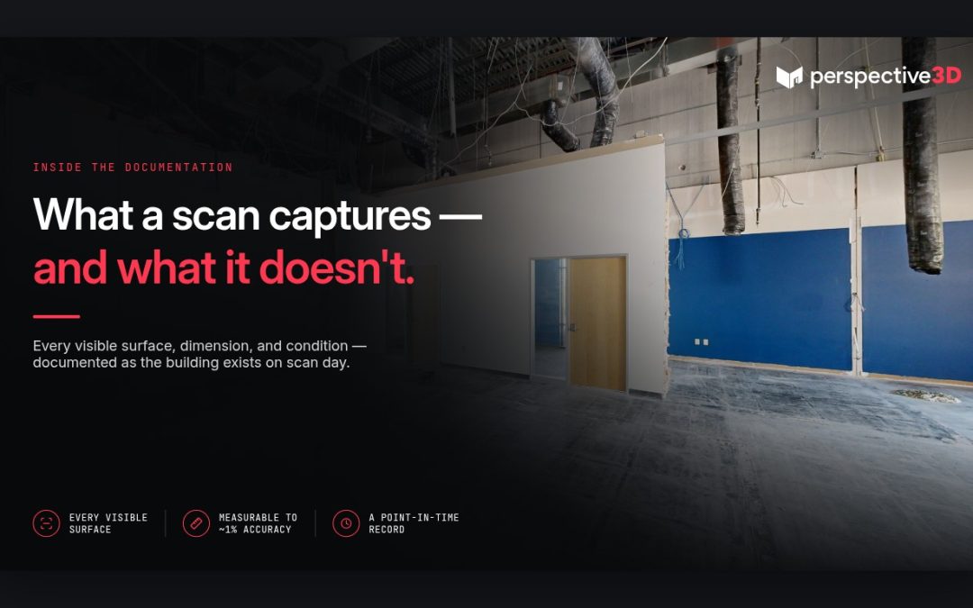
What does a Matterport 3D scan capture? A Matterport 3D scan captures every visible surface, dimension, and condition in a building — navigable, measurable, and ready when you need. What it does not capture is what’s hidden behind closed surfaces.
This post is for owners, project leads, and facilities managers who want to understand exactly what ends up in the documentation — and where the limits are. Both matter before you scope the work.
What does a Matterport 3D scan capture in a commercial building?
A Matterport scan captures the complete visible areas of a building’s interior and exterior — walls, floors, ceilings, openings, finishes, equipment, and layout — in three dimensions. The user navigates the space from any starting point, looks in any direction, and measures between any two visible points.
It also captures the relationships between conditions. A piece of mechanical equipment shows up in context with the ceiling height above it, the access path beside it, and the clearances around it. A floor transition shows up in context with the surrounding finishes, the lighting, and the adjacent features. The scan documents how things fit together, not just what’s individually present.
That spatial context is what separates a scan from a photo set. Photos capture views. A scan captures the space.
What does a Matterport 3D scan not capture?
A Matterport scan does not capture what’s hidden behind closed surfaces. Wiring inside walls, ductwork above hard ceilings, structural elements behind finishes — none of that is visible to the camera at the time of capture. The scan documents the visible reality of the building as it exists on scan day.
It also does not update itself. Conditions documented on scan day reflect the building on scan day. Changes made after capture are not reflected in the existing scan. If the building changes and the documentation needs to stay current, a new scan is the right step.
For projects that require documentation of hidden systems, we coordinate additional scope — point cloud capture, LiDAR, or coordinated as-built work — based on what the project actually needs. We confirm that during the initial conversation.
How accurate is the documentation a Matterport 3D scan produces?
Measurements taken from a Matterport 3D scan are typically accurate to within roughly one percent for standard building documentation. That tolerance covers most use cases in AEC, facilities management, insurance documentation, and pre-transaction due diligence.
For projects that require survey-grade tolerance — structural engineering, legal boundary work, or high-precision fabrication — LiDAR capture is the right approach. We recommend it when the project scope calls for it and confirm the right method before the scan is scheduled.
The scan also produces accurate spatial relationships — not just individual dimensions. Room configurations, clearance paths, equipment placement, and adjacencies are all documented in proportion to each other. That relational accuracy is often more useful than any single measurement.
Why does the documentation become more useful after the building changes?
A Matterport scan documents the building as it exists at one specific date. That date becomes significant when something about the building changes — through renovation, a loss event, a transaction, or normal operational wear.
Renovations are the most common situation. A scan taken before demolition is the only record of the conditions that were replaced. After the walls come down, that documentation is the answer to every question about what was there.
Loss events follow the same logic. Fire, water damage, vandalism — the pre-loss scan documents the baseline. The post-event documentation captures the change. The scan is the evidence of what the building looked like before.
Transactions are the third. Buyers, lenders, and insurers evaluating a property are working from conditions documented at a specific point. If a condition is disputed after closing, the scan is the reference.
The owner usually doesn’t know at scan time which of these situations will come up. The documentation is useful precisely because it doesn’t depend on predicting which question will be asked.
A Michigan example — a pre-sale scan and a question six months later
A Michigan property management firm scanned a commercial property the week before listing it. The intent was practical: give buyers a navigable view of the property without scheduling multiple site walks during the marketing period.
The property sold three months later. Six months after closing, the buyer flagged a condition they believed differed from what was represented during diligence. The condition in question — a flooring transition near a loading area — had been replaced as part of normal operations after closing. No current physical evidence of the pre-closing condition remained.
The seller pulled up the scan. The flooring transition was documented exactly as it existed on scan date, six months before closing. The condition matched what had been represented. The question was resolved without an independent inspection, without ambiguity, and without litigation.
The scan was commissioned to simplify diligence. It resolved a dispute the seller didn’t see coming. That’s the pattern.
Where this answer breaks down
A Matterport scan is the right documentation tool when the building needs a complete, navigable spatial record of visible conditions. It is not the right tool when the project requires survey-grade precision, documentation of concealed systems, or ongoing updates that reflect real-time changes.
The question to ask is straightforward: does the project need a record of what the building looks like and how it’s configured, accessible to multiple stakeholders without a site visit? If yes, a Matterport scan covers it. If the project needs something more specific — higher precision, concealed system documentation, or a different output format — we scope that in the initial conversation and recommend accordingly.
Frequently asked questions
▸ Do we scan buildings outside Michigan?
Yes. Most of our work happens across West Michigan and the broader Great Lakes region, but our sister company, Reality Capture Experts, is a global service provider of Matterport capture services. We can be anywhere you need us to be.
▸ How long does it take to scan a complex building?
Most complex buildings under 50,000 square feet are scanned in one day. Larger or more layered buildings can take two to three days, depending on access, occupancy, and the systems involved. The duration is confirmed during scoping, before the scan is scheduled.
▸ What if parts of the building can’t be accessed during the scan?
We coordinate access in advance, and inaccessible areas are documented as such in the deliverable. For occupied or secured spaces, we can return for follow-up captures when access is available, or scope a partial scan that captures what’s needed without disrupting operations.
▸ Can the scan capture mechanical, electrical, and plumbing systems?
The scan captures what is visible at the time of capture. Exposed MEP, ceiling-mounted systems with open ceilings, and equipment in mechanical rooms all show up clearly. Systems hidden behind walls or above closed ceilings are not captured by the scan itself — those require coordinated documentation methods we can recommend during scoping.
▸ Do we work directly with insurance carriers or only through the policyholder?
Both. Many carriers contract scanning directly for documentation, loss assessment, and claims support. We also work through restoration contractors, property managers, and policyholders who commission the scan and share access with their carrier. The reporting format is coordinated based on who will be receiving the data.
Related reading
- The Buildings Where a 3D Scan Quietly Pays for Itself
- What Happens to a Project When Everyone Can Walk the Site From Their Desk
- Who Owns Matterport Data? Hosting, Licensing & Access Explained
- Matterport Pricing & Costs Explained
If you need documentation of a building before it changes, call 616-312-3947 or visit perspective3-d.com/contact.